
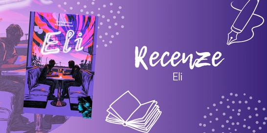
Eli: queer romance plná bolesti i ryzí lásky | RECENZE
Tahle kniha se ke mně původně dostala jen proto, abych ji předala někomu z...
 - Philip's Maps")
Kniha ( měkká vazba )
198 Kč s DPH
Jsme transparentní


Při zaslání zboží balíčkem
K nákupu nad 1699 Kč dárek zdarma v hodnotě 198 Kč
Stalinova baletka - Příběh odvahy a boje o přežití v sovětském Rusku
Thousands of global facts at your fingertips with the best value quick-reference World Atlas on the market. Both physical and political geography is clearly illustrated alongside the great cities of our planet.The highest peak? The deepest ocean trench? The wettest, driest, longest, largest - we list the world''s fascinating extremes. … Přejít na celý popis

Thousands of global facts at your fingertips with the best value quick-reference World Atlas on the market. Both physical and political geography is clearly illustrated alongside the great cities of our planet.The highest peak? The deepest ocean trench? The wettest, driest, longest, largest - we list the world''s fascinating extremes. Crammed with practical information like a Distance Chart for World Cities, World Time Zones, over 200 State Flags and the top 100 most populous countries, we include around 15,000 places indexed for easy checking. Whether for the pub quiz, travel planning or school reference, this great value handy world atlas is crammed with everything you need to know.Alongside the topography and physical attributes of the earth we also show political boundaries and the great global cities, including transport hubs and places of interest from mosques to temples, palaces to zoos and shopping centres to tourist information centres.Features include: * 200 Flags of the world''s major states and territories* 21 City centre maps: transport (road, rail, trams, light railways, bus and railway stations) and places of interest including religious buildings (churches, abbeys, cathedrals, synagogues, shrines, temples, mosques), museums, galleries, theatres, palaces, castles, parks, gardens, zoos, shopping centres, hospitals, Tourist Centres.* World city distance table* World time zones map* World country comparisons table - the population and areas of the world''s top 100 most populous countries* World physical comparisons- largest oceans, longest rivers, biggest islands, highest peaks, deepest trenches.* Continental Comparator - for each one we show area, coldest place, hottest place, wettest place, driest place * World topographic maps - with coloured contour layers and hill-shading clearly outlining the Earth''s surface.* World political maps - the latest boundary and geopolitical changes, with cities, provinces and countries shown.* Index of around 15,000 place-names - with geographical features like mountains, lakes and deserts, as well as towns.
0.0 z 5 0 hodnocení čtenářů
0× 5 hvězdiček 0× 4 hvězdičky 0× 3 hvězdičky 0× 2 hvězdičky 0× 1 hvezdička
Získejte přehled o vývoji ceny za posledních 60 dní.
Tahle kniha se ke mně původně dostala jen proto, abych ji předala někomu z...
Nestihli jste naše žhavé literární odpoledne na Masarykově nádraží, nebo...
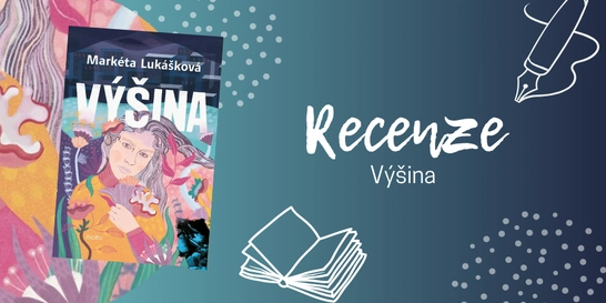
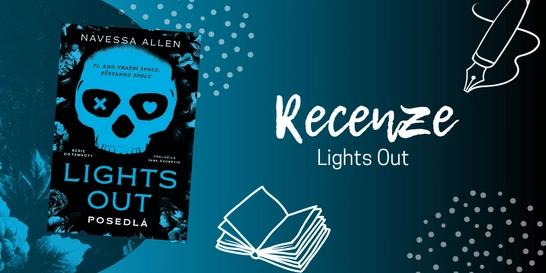
Pokud nevíte, zda sáhnout po „nové Lukáškové“, váš osobní...
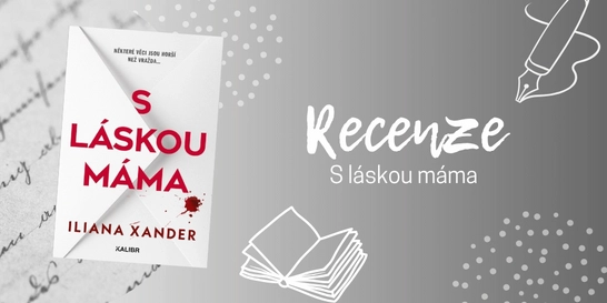
Po dočtení poslední knihy, která byla na můj vkus až příliš...
Už jste také někdy spadli do pasti algoritmu sociálních sítí? Znáte to....
Ne vždycky má člověk chuť vyrážet na nákup do obchodního centra. Někdy...
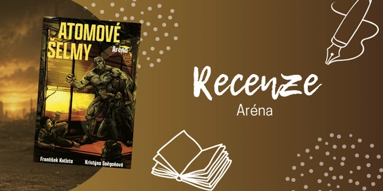
Pokud jste unavení ze všech těch varování, že světu hrozí atomová válka...

Od letošního CinemaConu už uběhlo pár týdnů, ale moje nadšení z...
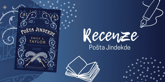
Po knize Pošta Jindekde jsem sáhla hlavně proto, že mám tvorbu Emily J....
Každý konec je začátek něčeho nového
Po smrti manžela odjíždí Pixie na francouzský zámek, který spolu koupili. Místo nového začátku tam ale objeví tajemství, které jí převrátí celý život.

Mohlo by vás zajímat
Zběsilá postapo jízda pokračuje
Hřbitov není místo pro slabé povahy ani pro romantické procházky za soumraku. Postapo nářez plný mutací, šílenství a bohů, kteří možná nikdy neměli být probuzeni.
Mohlo by vás zajímat
Léto na ranči měl být útěk od problémů..
Místo klidu ji čeká přitažlivý šerif, stará tajemství a pocit, že ji někdo sleduje.
Mohlo by vás zajímat
Parkuj a vyraž!
Všechny Hot Wheels® pohromadě a připravené na akční drift se stylovou garáží.
Mohlo by vás zajímat
Mohlo by vás zajímat
Knihovna, která nezabere ani polici
Detektivky, romány, fantasy ságy i pracovní dokumenty v jedné tenké černé čtečce. Kindle Paperwhite je pro všechny knihomoly, kteří chtějí maximum čtení v minimu prostoru.
Mohlo by vás zajímat
Batůžek s psím srdcem
Ať už míří do školy, na výlet nebo za kamarády, oblíbený psí hrdina Gump bude dětem dělat společnost na každém kroku.
Každý měsíc společně přečteme tisíce knih


Tento web je chráněn službou reCAPTCHA a platí pro něj Zásady ochrany soukromí a Smluvní podmínky. | © 2001–2026 DOBROVSKÝ s.r.o. Všechna práva vyhrazena.
 KnihyDobrovsky.cz
 knihydobrovsky
 @knihydobrovskycz
 @knihydobrovsky