
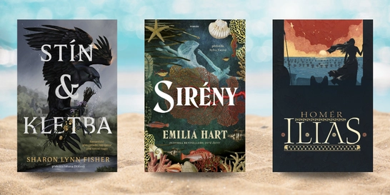
6 červencových novinek, které si přibalit na dovolenou
Slunce svítí, prázdniny jsou v plném proudu a spousta z nás si dopřává...

Kniha ( pevná vazba )
1 023 Kč s DPH
Jsme transparentní


Nearly thirty years after the end of the Cold War, its legacy and the accompanying Russian-American tension continues to loom large. Russia's access to detailed information on the United States and its allies may not seem so shocking in this day of data clouds and leaks, but long before we had satellite imagery of any neighborhood at a finger… Přejít na celý popis

5.0 z 5 hvězdiček
Voucher
5.0 z 5 hvězdiček
Voucher
5.0 z 5 hvězdiček
Voucher
Nearly thirty years after the end of the Cold War, its legacy and the accompanying Russian-American tension continues to loom large. Russia's access to detailed information on the United States and its allies may not seem so shocking in this day of data clouds and leaks, but long before we had satellite imagery of any neighborhood at a finger's reach, the amount the Soviet government knew about your family's city, street, and even your home would astonish you. Revealing how this was possible, The Red Atlas is the never-before-told story of the most comprehensive mapping endeavor in history and the surprising maps that resulted. From 1950 to 1990, the Soviet Army conducted a global topographic mapping program, creating large-scale maps for much of the world that included a diversity of detail that would have supported a full range of military planning. For big cities like New York, DC, and London to towns like Pontiac, MI and Galveston, TX, the Soviets gathered enough information to create street-level maps. What they chose to include on these maps can seem obvious like locations of factories and ports, or more surprising, such as building heights, road widths, and bridge capacities. Some of the detail suggests early satellite technology, while other specifics, like detailed depictions of depths and channels around rivers and harbors, could only have been gained by actual Soviet feet on the ground. The Red Atlas includes over 350 extracts from these incredible Cold War maps, exploring their provenance and cartographic techniques as well as what they can tell us about their makers and the Soviet initiatives that were going on all around us. A fantastic historical document of an era that sometimes seems less distant, The Red Atlas offers an uncanny view of the world through the eyes of Soviet strategists and spies.
0.0 z 5 0 hodnocení čtenářů
0× 5 hvězdiček 0× 4 hvězdičky 0× 3 hvězdičky 0× 2 hvězdičky 0× 1 hvezdička
Získejte přehled o vývoji ceny za posledních 60 dní.
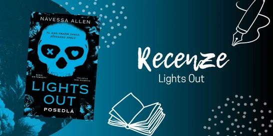
Slunce svítí, prázdniny jsou v plném proudu a spousta z nás si dopřává...

Pokud vám seriál Heated Rivalry (Spalující rivalita) nedal spát a zhlédli...
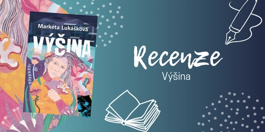
Pokud nevíte, zda sáhnout po „nové Lukáškové“, váš osobní...

Tahle kniha se ke mně původně dostala jen proto, abych ji předala někomu z...
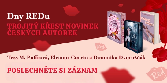
Nestihli jste naše žhavé literární odpoledne na Masarykově nádraží, nebo...
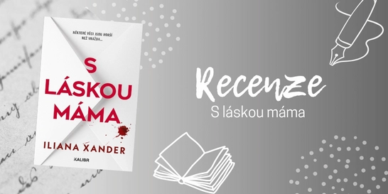
Po dočtení poslední knihy, která byla na můj vkus až příliš...
Už jste také někdy spadli do pasti algoritmu sociálních sítí? Znáte to....
Ne vždycky má člověk chuť vyrážet na nákup do obchodního centra. Někdy...
Pokud jste unavení ze všech těch varování, že světu hrozí atomová válka...
1 023 Kč s DPH
Jsme transparentní
Co se skrývá za dveřmi tajné knihovny ve starém zámku?
První díl nové série zve děti na výpravu plnou záhad, kouzel a příběhů, které si zamilují.

Mohlo by vás zajímat
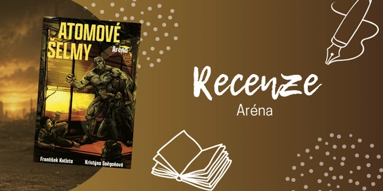
Zběsilá postapo jízda pokračuje
Hřbitov není místo pro slabé povahy ani pro romantické procházky za soumraku. Postapo nářez plný mutací, šílenství a bohů, kteří možná nikdy neměli být probuzeni.
Mohlo by vás zajímat
Zběsilá postapo jízda pokračuje
Hřbitov není místo pro slabé povahy ani pro romantické procházky za soumraku. Postapo nářez plný mutací, šílenství a bohů, kteří možná nikdy neměli být probuzeni.
Mohlo by vás zajímat
Matika, co počítá s budoucností.
Učebnice, která propojuje čísla, logiku i technologie. Protože i vzorce jdou s dobou.
Mohlo by vás zajímat
Modrá klasika do každé aktovky
Žádné zbytečné kouzlení, jen poctivý sešit pro každodenní psaní.
Mohlo by vás zajímat
Rychlejší než blesk!
Rozšiřte svou klasickou sadu o Speed Pack a dodejte vašemu UNO nový život.
Mohlo by vás zajímat
Královna oslavy!
Cleo září ve zlatém outfitu a přináší monstrózní narozeninovou radost. Přidejte ji do své sbírky Monster High a rozjeďte párty!
Mohlo by vás zajímat
Kapitola u bazénu? Klidně.
Vodotěsné provedení vám dovolí číst u vody, na pláži i ve vaně bez zbytečných obav.
Každý měsíc společně přečteme tisíce knih


Tento web je chráněn službou reCAPTCHA a platí pro něj Zásady ochrany soukromí a Smluvní podmínky. | © 2001–2026 DOBROVSKÝ s.r.o. Všechna práva vyhrazena.
 KnihyDobrovsky.cz
 knihydobrovsky
 @knihydobrovskycz
 @knihydobrovsky