
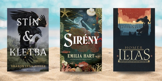
6 červencových novinek, které si přibalit na dovolenou
Slunce svítí, prázdniny jsou v plném proudu a spousta z nás si dopřává...



Kniha ( měkká vazba )


A recent trend concerning archaeological research has focused on producing a real-time methodology for 3D digital models as archaeological documentation within the excavation setting. While such methodologies have now firmly been established, what remains is to examine how 3D models can be integrated more fully alongside other forms of… Přejít na celý popis

5.0 z 5 hvězdiček
Voucher
5.0 z 5 hvězdiček
Voucher
5.0 z 5 hvězdiček
Voucher
5.0 z 5 hvězdiček
Voucher
A recent trend concerning archaeological research has focused on producing a real-time methodology for 3D digital models as archaeological documentation within the excavation setting. While such methodologies have now firmly been established, what remains is to examine how 3D models can be integrated more fully alongside other forms of archaeological documentation. This work explored one avenue by developing a method that combines the interpretative power of traditional archaeological drawings and the realistic visualisation capacity of 3D digital models. An experiment was initiated during archaeological excavations at Uppåkra, Sweden where photographic data was captured to produce 3D digital models through Photoscan. These models were geospatially located within ESRI’s 3D GIS ArcScene where shapefile editing tools were used to draw overtop of their surfaces in three-dimensions. All drawings closely followed the single context method of drawing, were allotted context numbers, and given descriptive geodatabase attributes. This methodology resulted in the further integration of 3D models alongside other forms of archaeological documentation. The drawings increased the communicative powers of archaeological interpretation by enabling the information to be disseminated in a 3D environment alongside other formats of data that would have otherwise been disconnected in 2D space. Finally, the database attributes permitted the drawings complete integration within the geodatabase, thereby making them available for query and other analytical procedures. Archaeological information is three-dimensional; therefore, archaeologists must begin to approach documentation bearing this in mind. This technique has demonstrated that 3D models are a fluidic form of documentation allowing for accurate preservation of archaeology while enabling new forms of data to be derived all within a limited amount of time. Archaeologists must begin to affect change towards embracing 3D models and their associated applications as a standard tool within the excavator’s toolbox.
0.0 z 5 0 hodnocení čtenářů
0× 5 hvězdiček 0× 4 hvězdičky 0× 3 hvězdičky 0× 2 hvězdičky 0× 1 hvezdička
Získejte přehled o vývoji ceny za posledních 60 dní.
Slunce svítí, prázdniny jsou v plném proudu a spousta z nás si dopřává...

Pokud vám seriál Heated Rivalry (Spalující rivalita) nedal spát a zhlédli...
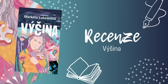
Pokud nevíte, zda sáhnout po „nové Lukáškové“, váš osobní...

Tahle kniha se ke mně původně dostala jen proto, abych ji předala někomu z...
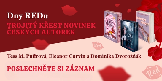
Nestihli jste naše žhavé literární odpoledne na Masarykově nádraží, nebo...
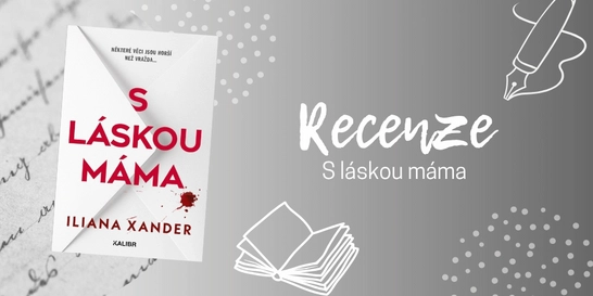
Po dočtení poslední knihy, která byla na můj vkus až příliš...
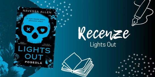
Už jste také někdy spadli do pasti algoritmu sociálních sítí? Znáte to....
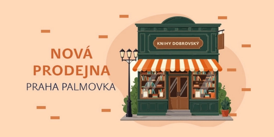
Ne vždycky má člověk chuť vyrážet na nákup do obchodního centra. Někdy...
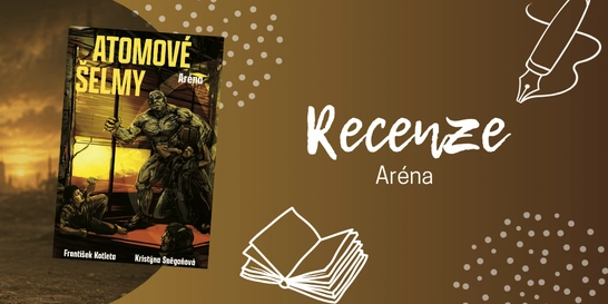
Pokud jste unavení ze všech těch varování, že světu hrozí atomová válka...
Elitní baletka. Záchranář, který ji kdysi ztratil. A city, které nezmizely.
Allie celý život bojovala o dokonalost, dokud její kariéru neohrozilo vážné zranění. A právě ve chvíli, kdy se jí začíná rozpadat svět, znovu vstoupí do jejího života Hudson.

Mohlo by vás zajímat
Caraval vrcholí!
Tella, Scarlett i Legenda stojí před rozhodnutími, která změní jejich osudy. Ve hře je láska, moc i budoucnost celého království.
Mohlo by vás zajímat
Zběsilý postapo svět. Tvrdá pravidla.
Druhý díl, který přitvrzuje. Sněgoňová & Kotleta servírují Arénu, kde přežijí jen ti nejtvrdší. Ostatní skončí jako krmivo.
Mohlo by vás zajímat
Učebnice, co drží krok s dobou.
Nová generace učebnic, která jede podle nejnovějšího RVP, ne podle Windows 95.
Mohlo by vás zajímat
Modrá klasika do každé aktovky
Žádné zbytečné kouzlení, jen poctivý sešit pro každodenní psaní.
Mohlo by vás zajímat
Rychlejší než blesk!
Rozšiřte svou klasickou sadu o Speed Pack a dodejte vašemu UNO nový život.
Mohlo by vás zajímat
Mohlo by vás zajímat
Malý kousek galerie na knížky, drobnosti i menší nákup
Plátěná taška Paperblanks Natsu díky pevné bavlněné látce unese až 7 kg.
Každý měsíc společně přečteme tisíce knih





Tento web je chráněn službou reCAPTCHA a platí pro něj Zásady ochrany soukromí a Smluvní podmínky. | © 2001–2026 DOBROVSKÝ s.r.o. Všechna práva vyhrazena.






 KnihyDobrovsky.cz
 knihydobrovsky
 @knihydobrovskycz
 @knihydobrovsky